Thermal drone deer surveys
How does a thermal drone survey work?
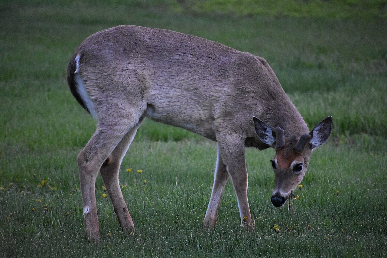
We fly a planned grid over your property at night in late winter or early spring, when leaves are down and before fawns are born, so the count reflects the adult herd. The video is reviewed afterward to count each deer and map where they were.
What do you get from a survey?
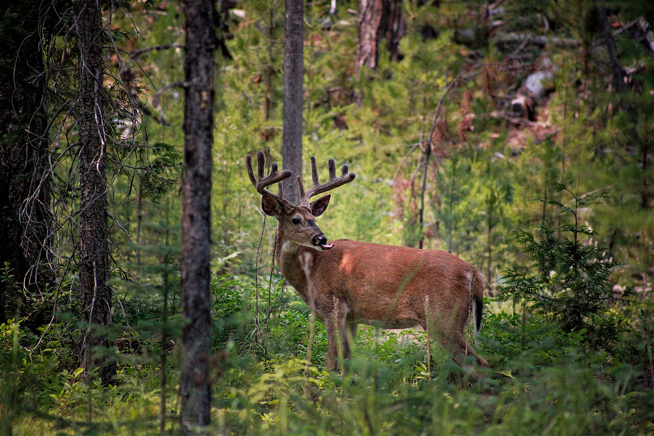
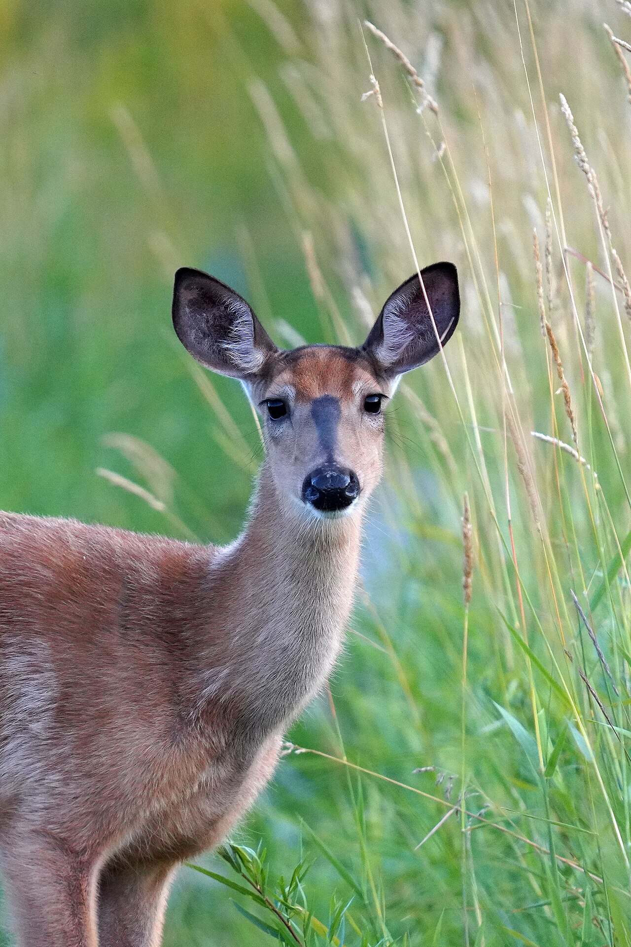
- A deer count and density (deer per square mile)
- A map of where deer were bedded, feeding and moving
- A recommended harvest number and permit request
- A baseline to measure next year’s results against
How accurate are drone deer counts?
No survey sees every animal. Research published in the Wildlife Society Bulletin in 2024 found that, after accounting for animals that could not be seen, thermal drone estimates of white-tailed deer were similar to trail camera and helicopter estimates, and repeated drone surveys were more consistent than repeated helicopter surveys. Accuracy drops in thick cover and on steep ground.
What do surveys usually find?
Researchers often point to about 10 deer per square mile as a level where forests and other wildlife can recover. When Readington Township in Hunterdon County, New Jersey, ran a night thermal drone survey across nearly 48 square miles in March 2023, it counted 4,956 deer, more than 100 deer per square mile.
Is it legal to use drones with deer in Pennsylvania?
Surveys must follow FAA rules, which require a certified remote pilot for this kind of work. Pennsylvania prohibits using drones to locate, drive, harass or take game, and the Game Commission treats drone recovery of deer as part of hunting. Our survey flights count deer for management planning only. They are never flown during a hunt, never used to guide hunters and never used to find or recover deer. We fly only with the landowner’s written permission.
Last updated October 18, 2026. Reviewed by DelChester Wildlife Conservation Group.
Frequently asked questions
When is the best time for a drone deer survey?
Late winter or early spring, at night, with leaves down and before fawning season.
Can a drone be used to find a deer after the shot in Pennsylvania?
No. The Game Commission treats drone recovery as part of hunting, which is not allowed. We use drones only for population surveys.
Put our team to work on your land
Tell us about your property and the damage you are seeing. A first conversation and site visit cost nothing.
Enroll Your Property